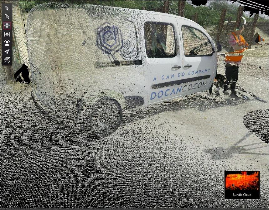
Our advanced 3D laser scanning & surveying services support our clients across the planning, design and analysis phases of their projects.
Our expertise
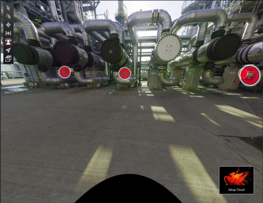
At DOCAN, we pride ourselves on having a team of highly skilled multidisciplinary engineers with expertise in advanced surveying techniques. We’re equipped with state-of-the-art 3D laser scanning and surveying equipment in partnership with leading companies, including tools such as Leica Laser Scanners, total stations and trackers (RTC360, P40/P50 long-range scanners, and TS07 and TS16), Hexagon, FARO and Creaform technologies for CMM, metrology grade laser scanners and laser trackers.
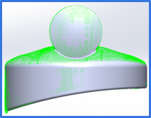
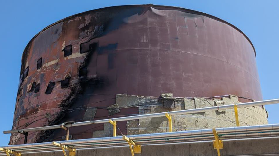
Our expertise in data collection not only supports our surveying services but also informs other critical services such as reverse engineering and Fitness for Service Assessments (FFSA). We have the capabilities in-house to offer a complete turnkey solution, ensuring our clients receive comprehensive support throughout their projects.
We work with clients across a wide range of industries, whether it’s facilitating the design of a new structure, redesigning a damaged component, or addressing more complex challenges – we’re committed to delivering high-quality solutions tailored to each client’s needs.
3D laser scanning & surveying services
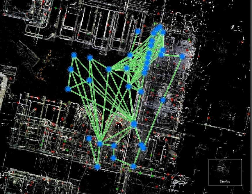
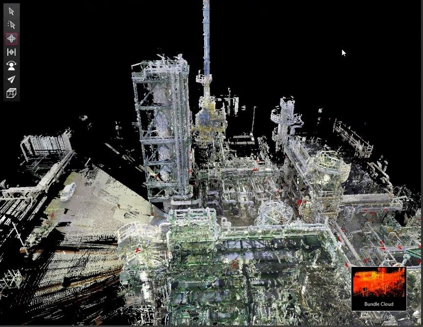
Our 3D laser scanning and surveying services are versatile and applicable to a wide range of projects, from large, complex engineered structures to smaller-scale assets that require detailed scans. We utilise advanced technology to take precise and accurate measurements of any existing structure or object, ensuring that no detail is overlooked.
Once we gather this data, we can create a highly accurate 3D model, which serves as a foundation for various applications. These models can be used to produce manufacturing drawings for reproducing components, support reverse engineering processes, and much more. By transforming raw data into actionable insights, our 3D laser scanning services help clients achieve their project goals efficiently and effectively.
Our key capabilities include
- Classical surveying for projects such as civil engineering, using tools such as theodolites, total stations, and levels to measure land for construction projects
- Terrestrial grade laser to capture 3D data of large infrastructure, ideal for complex environments where highly accurate and quick data is needed
- Metrology grade laser – high precision laser scanning for industrial equipment i.e. in manufacturing, aerospace etc. This allows us to gather extremely accurate measurements for complex geometries in components or products
Why work with DOCAN?
At DOCAN, we have comprehensive in-house capabilities, which include access to state-of-the-art 3D laser scanning and surveying equipment. For our clients, this means they don’t need to invest in internal resources or manage external partnerships, allowing them to focus on their core operations.
Throughout your project, we provide a single point of contact meaning our engineers are directly involved in the work, ensuring a deep understanding of the critical aspects of the surveying process. This means we understand what aspects of the surveying are important so we can collect the correct information and post-process the data accordingly.
We offer the flexibility to supply either raw scan data or fully post-processed data transformed into usable 3D CAD models but more importantly, we can handle the entire engineering project with unrivalled skills across major disciplines. Whether you require reverse engineering, Finite Element Analysis (FEA), Fitness-for-Service Assessments (FFSA), or digital twinning, we have the knowledge and experience to deliver exceptional results.
